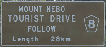
The Mount Nebo Tourist Drive 8 climbs up the mountain range from Brisbane’s north-western suburb The Gap. As the name suggests, it heads up Mount Nebo. It continues on to join onto Mount Glorious Tourist Drive 9.
The tourist drive is about 28 kilometres one way.
From The Gap to Mount Nebo
The tourist route starts at The Gap, following Mount Nebo Rd for the entire length when it joins with Mount Glorious Tourist Drive 9.
Start of Tourist Drive
The start of the drive can be found near The Gap Park n’ Ride bus station. From Ashgrove, head west on Waterworks Rd to the start of the tourist drive. From Keperra, head south on Settlement Rd to the end and turn right onto Waterworks Rd and continue to the start of the tourist drive.
Walkabout Creek Discovery Centre
Less than 1 kilometre, the first location is reached. Walkabout Creek Discovery Centre is the gateway to the southern section of the D’Aguilar National Park and the start of the Mount Nebo Tourist Drive. Visiting the centre can be a great way to get an introduction to the national park features before heading up the mountain.
Bellbird Grove
Leaving Walkabout Creek, Bellbird Grove is 3.8 kilometres along Mount Nebo Road on the right. Bellbird Grove is 4 kilometres return detour into a beautiful picnic area to relax with family and friends. There is open grassy space, sheltered space, free BBQs, and flushing toilets.
Turrbal Circuit
1.7km circuit eucalypt forest walk along Cedar Creek.
Golden Boulder Track
1.8km return track, taking you on a historical tour of the mining in the area, dating back to the 1860s. Mining continued into the mid-1940s before the search for gold was given up. Information boards are along the walk to provide interesting details on the history of this area.
McAfees Lookout
Named after the first settlers in the region, McAfees Lookout is the first lookout reached, 2.1km from the Bellbird Grove turnoff. It is a basic spot with a narrow view from the lookout. There is a basic dirt walking track from the parking area to a simple viewing platform. There are no facilities other than the parking. If you are pressed for time, this lookout is best skipped as you will see better views at other lookouts.
Camp Mountain
Continue 1.6 kilometres from McAfees Lookout and you will reach the entrance to Camp Mountain on the right. Camp Mountain is a 2.5-kilometre return detour from Mt Nebo Road. Camp Mountain Road is steep in parts but it is sealed all the way.
There are two lookouts at Camp Mountain. The first is next to the parking area, a few metres across some grass to reach it. The trees are encroached across the view a little but the view is still quite good.
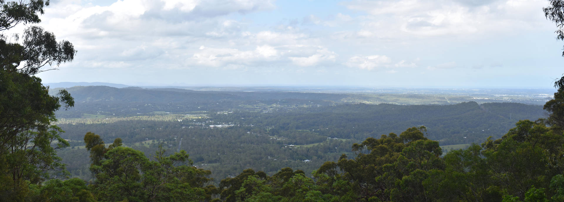
The second lookout is less than 200 metres away, called Bathersby Lookout. It looks like it won’t be much different to McAfees Lookout with a narrow view looking outward. When you approach the viewing platform, the city skyline opens into view, taking us a little bit by surprise.
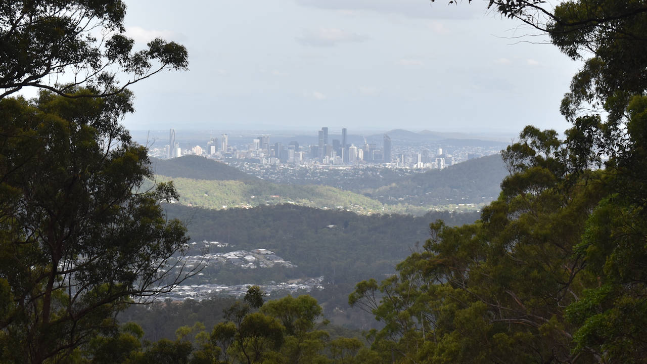
Bathersby Lookout is named after Most Reverend John A Bathersby, in recognition of his 50 years of service to the people of Queensland and of his passion for the natural environment.
Camp Mountain is possibly named by the gold prospectors setting up their camps in the 1860s and 1870s. The area was known as mountain camp but later became known as Camp Mountain.
Land was cleared to grow bananas and other crops, and dairy farms. A lot of the forest was lost but there is enough remaining to support a working environment for wildlife.
Between the lookouts is a shelter and some scattered picnic tables, suitable for enjoying the quiet environment.
Jollys Lookout
The entrance to Jollys Lookout is 8.3 kilometres after Camp Mountain, 15.7 kilometres from Walkabout Creek Discovery Centre. Along the Mount Nebo Tourist Drive, Jollys Lookout provides the best views. The popularity shows with it often being the busiest.
Passengers should look to their right shortly before with some glimpses of views off the mountain shortly before reaching the entry. The parking area is a short 100 metres from the entrance, with parking split towards the left and right.
The flushing toilets (to the right) are below the parking area. Raised above the parking area are paths and picnic tables. The area is not completely flat but it is wheelchair friendly if you are able to cope with slopes or have assistance.
The main viewing area is towards the left, with a sheltered area and picnic tables. A viewing platform is provided with information boards showing what you are looking at in the distance.

The views from Jollys Lookout displays the a large portion of the D’Aguilar Range with the mountains in the distance also part of the D’Aguilar National Park. The closer mountains to the left is Mount O’Reilly nearly 5 kilometres away. Behind it is Mount Samson (further towards the left).
The far left is Mount D’Aguilar and Mount Glorious, between 10 and 15 kilometres away. The range extends much further, nearly 50kms north near Woodford and Kilcoy, with access to D’Aguilar National Park near The Gantry and Woodford.
Thylogale Walking Track
One of the longer walks along the Nebo Tourist Drive, the Thylogale Walking Track is an 8-kilometre return track between Jollys Lookout and Boombana, taking around 3 hours to complete.
The forest varies along the way, with tallowwood trees, stringybarks, bloodwoods, and blue gums. The temperature drop will be noticeable when you enter the rainforest under the canopy of the trees towering above you.
Egernia Circuit
A shorter walk from Jollys Lookout is the 1.5-kilometre circuit, taking a much shorter 45 minutes. The walk takes you through eucalypt forest and rainforest.
Boombana
Continuing on from Jollys Lookout for 1.4 kilometres on Mt Nebo Road brings you to Boombana. Unlike the lookout oriented stops, Boombana is about being in the shaded rainforest with twisted vines and strangler figs.
The entry leads up a short bitumen track to a small parking area for a few cars. A short walk takes you brings you to a shelter and the Pitta Circuit walk.
Pitta Circuit
Walk through the open eucalypt and subtropical rainforest on Mount Nebo. Look for the slender palms, climbing ferns, vines and orchids along the way. Listen out for the distinct Wampoo fruit doves and you may catch a glimpse of them if you keep a keen eye – they are difficult to spot.
A notable feature on the Pitta Circuit walk is a towering 300-year-old strangler fig. Unlike the Wampoo, this you will be able to spot without difficulty.
Mt Nebo Side-track
A 600-metre side-track joins the Mt Nebo village to the Pitta Circuit. If you are not planning to use the shelter for a picnic lunch (or even if you do), you could park at the village and walk through to the Pitta Circuit. The joining track allows you to walk between the village and Jollys Lookout.
Manorina
Manorina is 4.9km from Boombana, with the parking area almost immediately on the road. There isn’t a lot of parking space, to the point we needed to work out if we’d move on or sit and wait for someone to come back and leave. Waiting may have taken a while, depending on when the other vehicles arrived.
Unlike some of the other stops where there are picnic and/or toilet facilities, the walks are the only things to come to Manorina for as there are no facilities. There is a lookout, however, it is at the end of the main walk.
Morelia Walking Track
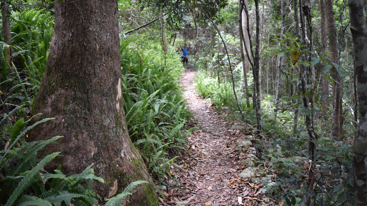
The main walk at Manorina is the Morelia Walking Track with Mount Nebo Lookout at the other end. It is a 6-kilometre return track, 3 kilometres each way, taking around 1.5 to 2 hours, taking time to enjoy the view and explore at the end of the track.
The 3-kilometre walk to the lookout takes you through changing forest types. The track gently rises around 100 metres from the parking area to the end of the track, making it quite an easy track to walk. The track is clearly defined so no risk of losing your way.
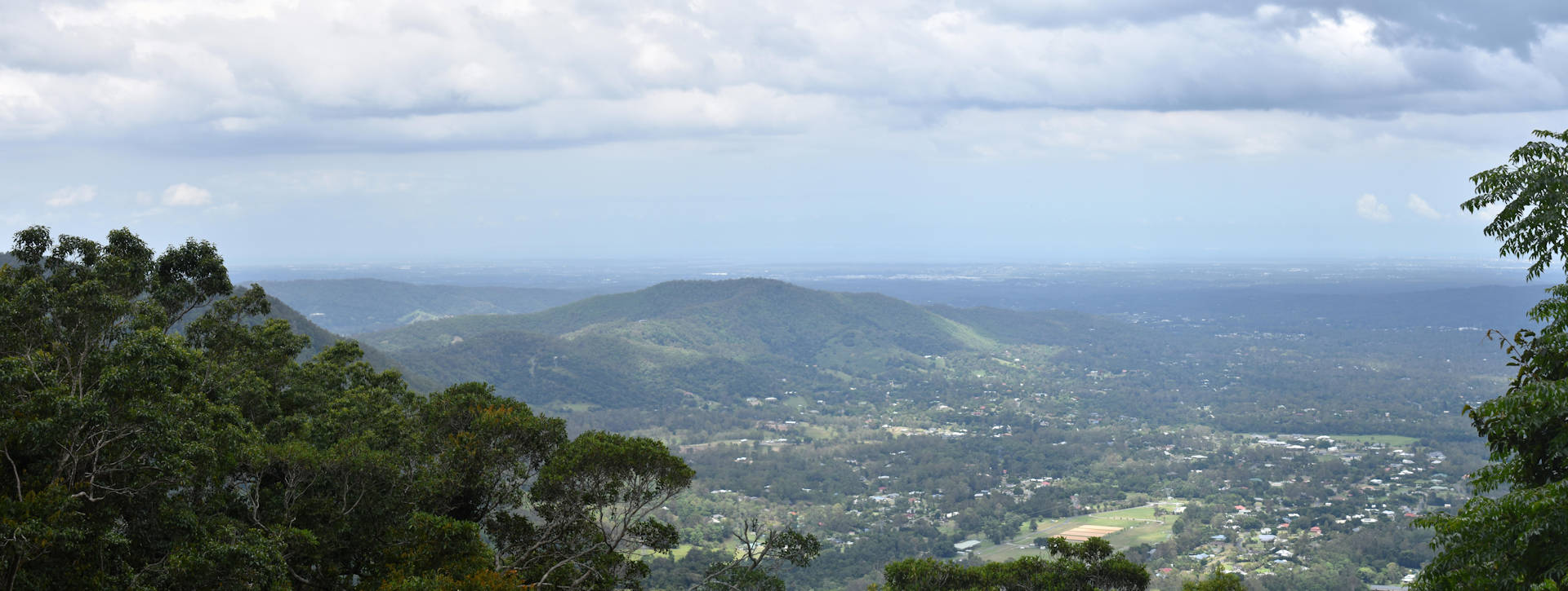
The view from Mount Nebo Lookout looks over Samford Valley towards Moreton Island. On a clear day, you can see the sand hills of Mount Tempest on Moreton Island. Mount Tempest is the highest sand dune in Australia and one of the largest costal sand dunes in the world. Unfortunately, the air was not clear enough for us to see them.
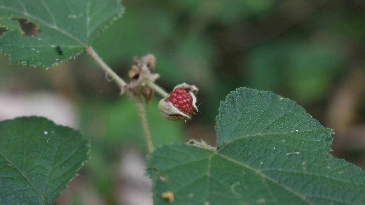
We found bush fruit along the way. Close to reaching the lookout, we spotted several native passionfruit vines. They were flowering and had some still-green fruit on them. On the way back, we spotted native raspberries. A few years earlier we visited Raspberry Lookout ![]() in the Gibraltar Range National Park, named after the native raspberries that grow there. We couldn’t find any there but spotted these not knowing they are here. They appear to be different to the ones at Raspberry Lookout.
in the Gibraltar Range National Park, named after the native raspberries that grow there. We couldn’t find any there but spotted these not knowing they are here. They appear to be different to the ones at Raspberry Lookout.
Morelia Walking Track can be joined with the Atrax Circuit with the first 200 metres common to both. If you start up the main track from the parking area, detour up the stairs on the return. To start on the Atrax Circuit first, head to the far-left side of the parking area to walk Atrax clockwise and turn left after walking down the stairs to join back with the Morelia Walking Track.
Atrax Circuit
The Atrax Circuit is a 750-metre walk taking around 25 to 30 minutes to complete. To go in an anti-clockwise direction, start the same as the Morelia Walking Track. A junction is reached 200 metres with stairs heading off to the left. Climb up the stairs and it is easy to follow from here.
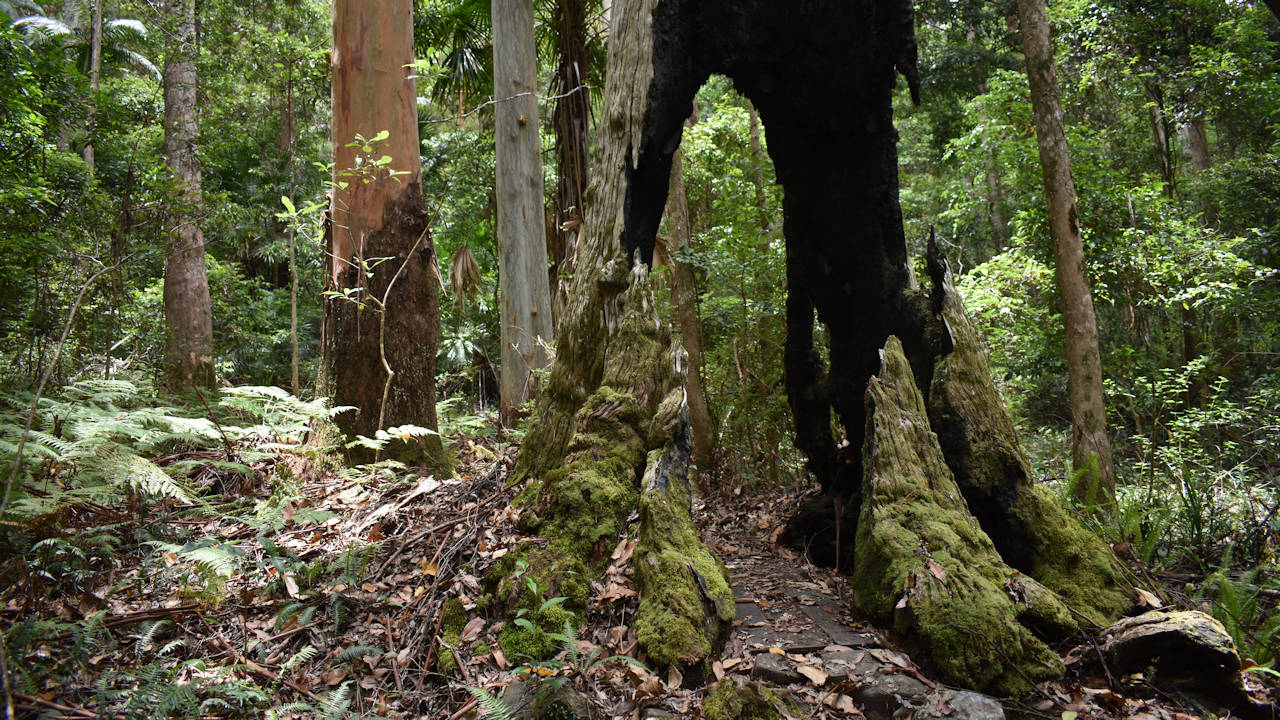
It may be a short walk but it has plenty to look at on the way. The rainforest encloses on you and the air is noticeably cooler. There are quite a few trees that have burnt-out trunks. Some are still surviving but others are not. One that didn’t survive is part of the track, walking through the middle of what is left of the trunk of the former brush box.
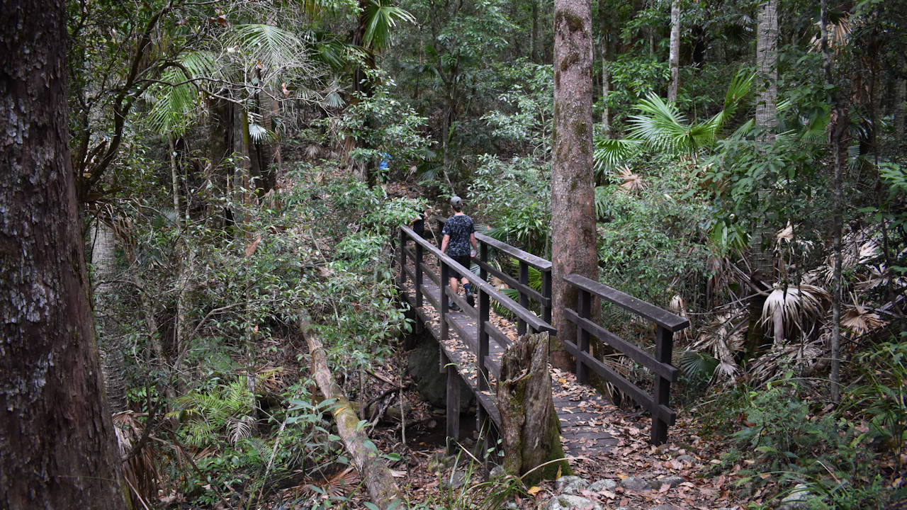
A wooden bridge takes you over a small creek, which wasn’t running, and I’d assume would only have water if you were walking during heavy rain. It is a nice backdrop for some photos and saves clamoring down and back up the gully of the creek.
Towards the end, the track reaches a T-intersection. Turning left takes you back to the parking area, going the other way takes you a short distance before needing to turn around. There are two green posts near the intersection, remnants of the signage that was there, now missing. If you walk the Atrax Circuit clockwise, you will reach it in around 100 metres, turn right to continue on the circuit.
Westridge Outlook
3.0km from Manorina
End of Tourist Drive
The end of Tourist Drive 8 finishes 2km from Westridge Outlook, where Mt Nebo Road intersects with Mt Glorious Road. Continue straight ahead on Mt Glorious Road to join up on the Mt Glorious Tourist Drive 9.

