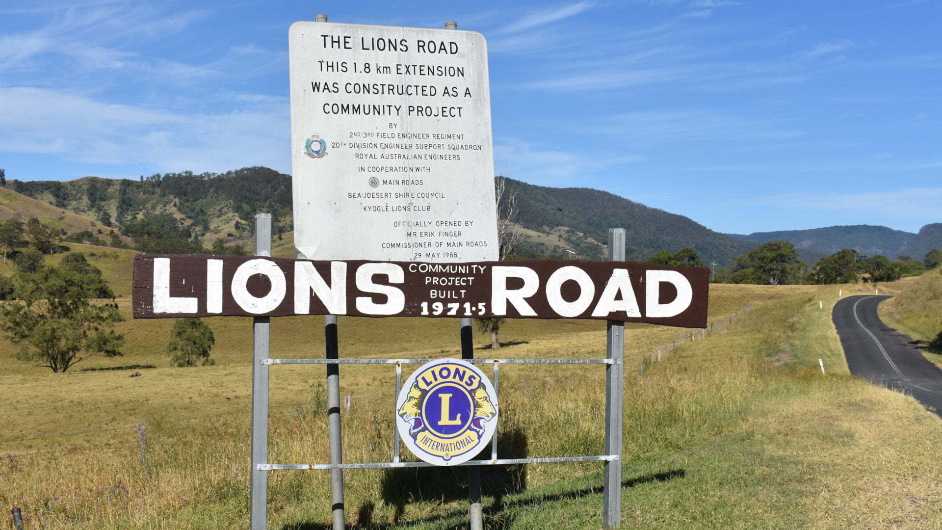
Lions Road is a beautiful scenic drive from the Queensland border into New South Wales, through the upper section of the Border Ranges National Park ![]() and down the McPherson Range through Glady’s Creek.
and down the McPherson Range through Glady’s Creek.
In 1969, the NSW government rejected the construction of a road to connect Kyogle in New South Wales through to Rathdowney in Queensland.

The Kyogle and Beaudesert Lions clubs decided to build their own road using the expertise of its members and communities.
The road continues to accept donations to help fund the maintenance of the road, helped by governments and private business.
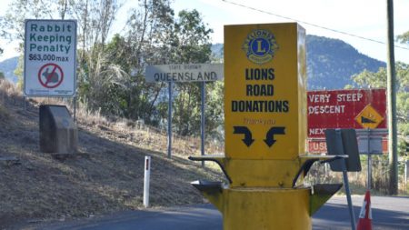
The road starts at the end of Running Creek Road in Queensland, from Rathdowney, leading up to the border. On crossing the border, the donation box sits in the middle of the road for easy access from the drivers window.

Cars are often seen parked near the border to take photos, of cars and persons. Noticeable is the large sign promoting very expensive rabbits in Queensland.
The winding road begins immediately to descend the McPherson Range, cutting through the Border Ranges National Park. Only a couple of kilometres along is the entrance to the Border Loop Lookout ![]() with views off the range and a glimpse of the railway line the loop name comes from.
with views off the range and a glimpse of the railway line the loop name comes from.
The road continues down the range through beautiful scenic rainforest. Look over at the right place and you can see the railway line tunnel where the railway loops under itself beneath the hills.

Once the road reaches the bottom Lions Road merges into Gladys Creek Road, following along Gladys Creek. The railway crosses over the road and creek on a high bridge that looks like an old Roman aqueduct.
Follow Gladys Creek Road all the way through to Summerland Way to either head towards Kyogle or Woodenbong.
Alternatively, turn off at Simes Rd to link across to Forest Rd to head to the main part of Border Ranges National Park at the Sheepstation Creek Campground ![]() end.
end.
To Get There

From Rathdowney Visitor Information Centre in Queensland, head north back to the service station and turn right into Running Creek Rd just before it. Continue along Running Creek Rd for 23.6km towards Kyogle to the Queensland and New South Wales border and the start of Lions Rd. At the border is a donation box for using Lions Road, add a gold coin donation. Follow Lions Rd for 2.3km and turn right into Border Loop Rd, with a brown sign 200m before it. The Border Loop Lookout parking area is about 500m further on.
From Kyogle or Woodenbong, see Brisbane via Lions Road for directions.


