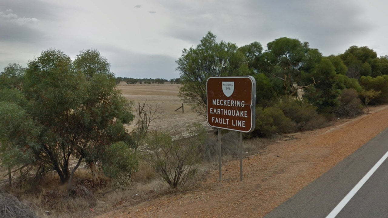
The Meckering Fault Line is where Australia’s most destructive earthquake occurred in 1968. This brown sign marks where the fault crosses over the Great Eastern Highway, about 5km west from Meckering.
The earthquake destroyed nearly 100 buildings and damaged the highway, cracking the road and creating a large raised section.
Railways, telephone and power lines were also damaged. Information about the earthquake and discover other locations to visit relating to it can be found at the Meckering Earthquake Display ![]() , on the side of the highway as you enter the town of Meckering.
, on the side of the highway as you enter the town of Meckering.
To get there:

The brown sign marking where the Meckering fault crosses over the Great Eastern Highway is 5km from the Meckering Earthquake Display. Turn left out of the display and follow the Great Eastern Highway for 5km. The sign is on the right side of the road when travelling west. Note that there is no provision for parking at this site and stopping on the side of the road is not catered for either.


