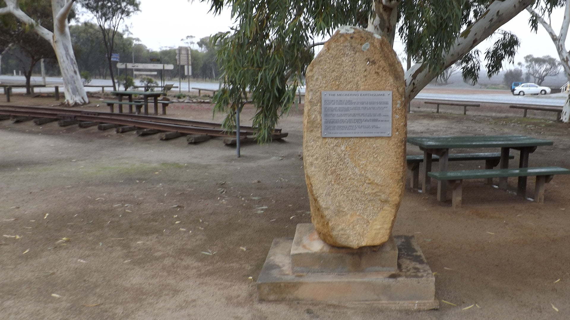
Australia is fortunate to have no major fault lines but the Meckering Earthquake is an example that it is not immune from experiencing seismic activity.
The Meckering Earthquake occurred in 1968 on the morning of the 14th of October. It was the most destructive earthquake recorded in Australia, destroying close to 100 buildings in Meckering and the surrounding district. The ruins of a stone farm house flattened by the earthquake ![]() is a 2km drive from Meckering.
is a 2km drive from Meckering.
The display has a monument and a hut with information about the earthquake. There is a sample of the railway line that was damaged by the earthquake with a big bend in the steel rails.
The Big SLR Camera is a camera museum and can provide information about the Meckering earthquake. The Big Camera is a across the side road.
The earthquake, lasting 45 seconds with the force equivalent to 10 Hiroshima atomic bombs, was felt in a radius of 700km. The slip had a westward heave of 2.4m, a southerly slip of 1.5m, and a vertical lift just short of 2m, creating a fault scarp 37 kilometres long.
The faulting produced by the Meckering Earthquake is unique in the world for its variety, clarity, and completeness, and the first in Australia
The fault line is about 35km long, crossing the Eastern Highway about 5km west of Meckering, marked with a brown sign for the Meckering Earthquake Fault Line. The scarp from the 1968 earthquake is all but disappeared, bulldozed to continue farming crops and removing the hazard for livestock.
A small section of the scarp remains, found on a bend about 9km down Quellington Rd. Quellington Rd is about 1.5km heading west on the Eastern Highway from the Meckering Earthquake Display.
Brown Signs
Earthquake Site – An old stone farm house that was destroyed by the Meckering earthquake in 1968
Earthquake Fault Line – The fault line to the north of Meckering, marked with a brown sign, on the way to the Earthquake Site
Meckering Earthquake Fault Line – Location of the Meckering Fault Line to the west of Meckering where it crosses the highway
To get there:

Entering Meckering from the west (from Northam and Perth) along the Eastern Hwy, when entering Meckering the Earthquake Display is about 400m on the right at Gabbedy Pl, with a brown sign 400m before it.
Entering Meckering from the east (from Cudnerdin) along the Eastern Hwy, continue through the town for 1.8km with the Meckering Earthquake Display on the left at Gabbedy Pl. A brown sign is 400m before it and another 2km before it.

