The Earthquake Site in Meckering, Western Australia, is the ruins of a stone farmhouse that was flattened by the Meckering Earthquake in 1968.
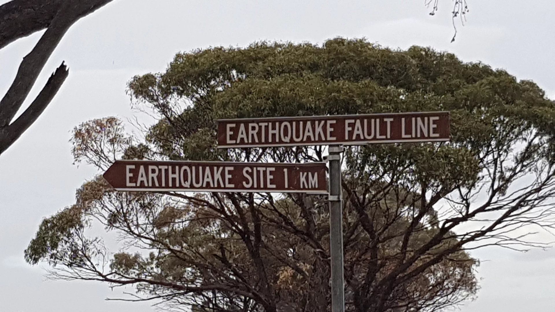
The weather was really poor so we didn’t travel all the way to the ruins, stopping at the Earthquake Fault Line.
The ‘Salisbury’ homestead was built in 1904 and flattened by the 6.9 Richter scale Earthquake in 1968. The ruins still lie there serving as a visual reminder of the devastation caused by the earthquake.
The Meckering Earthquake Display ![]() on the side of the Eastern Highway provides information about the earthquake and the Meckering Fault Line.
on the side of the Eastern Highway provides information about the earthquake and the Meckering Fault Line.
Most of the fault line isn’t visible today as it was bulldozed for continued farming, however, there are some locations that are marked around Meckering. One of them is on the way to this earthquake site.
The other two locations are along the Eastern Highway west of Meckering and on a country road south west of Meckering. There isn’t really anywhere to stop at the fault line on the highway. The other is safer and specifically preserved from bulldozing to remember what the earthquake fault was like.
To get there:

From the Meckering Earthquake Display ![]() , turn right onto the Eastern Highway and follow for 600m before turning left into Dunlop St with the brown sign for Earthquake Site. Follow Dunlop St for 750m and turn left into Goomalling-Meckering Rd. After 1.4km, veer left (straight ahead) into Stewart Rd, then immediately left into Moore North Rd with the brown sign for Earthquake Site. This intersection is also another brown sign, Earthquake Fault Line
, turn right onto the Eastern Highway and follow for 600m before turning left into Dunlop St with the brown sign for Earthquake Site. Follow Dunlop St for 750m and turn left into Goomalling-Meckering Rd. After 1.4km, veer left (straight ahead) into Stewart Rd, then immediately left into Moore North Rd with the brown sign for Earthquake Site. This intersection is also another brown sign, Earthquake Fault Line ![]() . Follow Moore North Rd for 750m to the ruins at the Earthquake Site on the right.
. Follow Moore North Rd for 750m to the ruins at the Earthquake Site on the right.

