


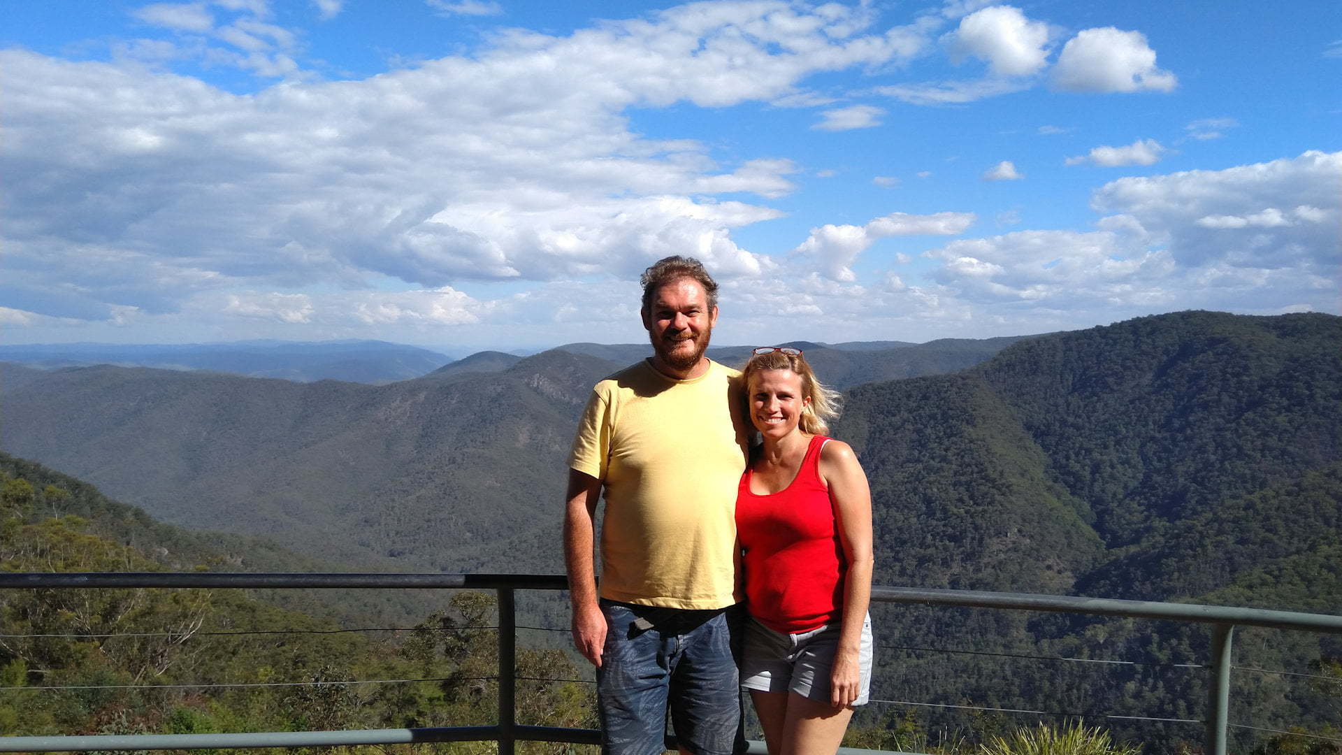
Raspberry Lookout in the Gibraltar Range National Park has spectacular views from the tableland across the Mann River to Nymboida National Park.
The lookout has a wide railing with an open and unobstructed area to view from. You get a sense of being high above the surrounding mountain forests off tops of the Gibraltar Range. An information board sits in the middle of the lookout.
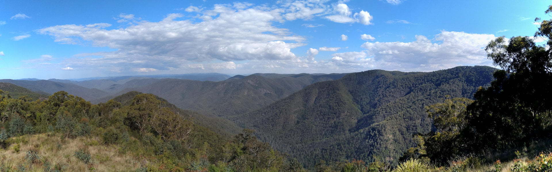
The main valley is the Demon Fault, which runs for 200 kilometres from Ebor, through Guy Fawkes National Park, Gibraltar National Park, and up to the Queensland border. The rocks underneath of Raspberry Lookout slid 20 kilometres north of the other side of the fault, bringing two different soil compositions together.
Streams have eroded at the weakness in the rocks along the fault, the creek of Boundary Falls ![]()
![]() is one of these that runs along the Demon Fault. The gorges of the Mann River and Guy Fawkes River also follow the Demon Fault.
is one of these that runs along the Demon Fault. The gorges of the Mann River and Guy Fawkes River also follow the Demon Fault.
The picnic table is set a fair way from the lookout railing but with the wide viewing point, the view is still amazing from it. The antipasto lunch we had at the picnic table was wonderful to have with such a beautiful view to look at.
Raspberry Lookout is named after a low-growing thorny vine found in the forests. We looked for an example of the vine but couldn’t find one, much to the disappointment of the kids.
The Gibraltar Range National Park is one of oldest national parks in NSW. The park was formed in 1963 after the opening of the Gwydir Highway.
It has a rich history with selective logging beginning in the 1800s, after the valuable red cedar trees. Bullocks, crosscut saws, axes, and timber cutters were brought into the area.
From turmoil during the 1970s and 1980s between the timber industry and conservation of the forests, the Gibraltar Range and Washpool areas are now protected as national parks.
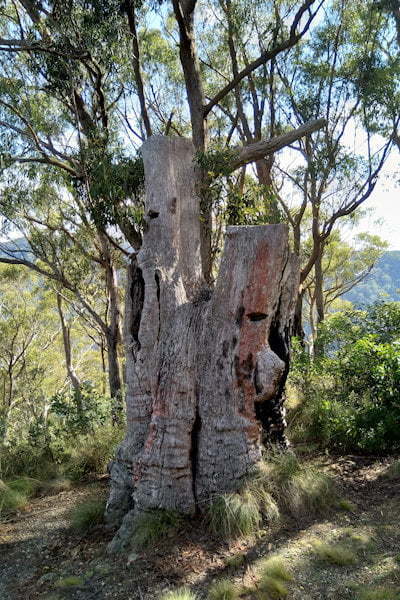
To the right of the handrail of Raspberry Lookout is a historic tree, or at least what remains of it. The tree stump was cut down by axe and it shows the anchor holes that held the springboards the axemen stood on.
Carved into the side of the tree stump are letters and numbers, probably carved by early forest surveyors. Markers in trees like this were used in the 1800s as boundaries of parishes, properties, and forest reserves.
To Get There

From Glen Innes, from the New England Hwy, turn into Gwydir Hwy towards Grafton. Follow Gwydir Hwy for 60.5km. The entrance to Raspberry Lookout is on the right.
From Grafton, head west towards Glen Innes on Gwydir Hwy. Follow Gwydir Hwy for 93.5km. The entrance to Raspberry Lookout is on the left.
From Boundary Falls, head back out to Gwydir Hwy and turn left. The entrance to Raspberry Lookout is 600m on the right.
From Mulligans Hut, head back out to Gwydir Hwy and turn left. The entrance to Raspberry Lookout is 7.9km on the left.
