


Ben Bennett Bushland Park is a reserve with a number of habitat types and ecosystems, only a few minutes from the main street of Caloundra.
The park was once known as Ben Bennett Botanical Park but was renamed at some point, although I’m not sure when this occurred. The park has been around for over 50 years so there is a long history for when the name could have changed.
Ben Bennett Bushland Park is around 21.5 hectares with a variety of vegetation types:
- Eucalypt forest with Scribbly Gum, Blackbutt, Tallowwood and Wattle;
- Melaleuca forest with Broad-leaved Paperbark, Swamp Mahogany, and Swamp Banksia;
- Dry heath with Geebung, Hairy Pea Bush, and Purple Pea Bush;
- Wet heath with Swamp Banksia, Prickly Leaf Hakea, and Hubbard’s Wattle
- Lowland rainforest with Cabbage Tree Palm, Quandongs, Swamp Box, and Brush Box
The bushland provides a habitat for animals, one in particular of note is the Glossy Black Cockatoo. I remember seeing the infrequent Black Cockatoo when I was taken camping in the bush by my parents, over 30 years ago. They seem to be a far less frequent sighting these days.
The Glossy Black Cockatoo is listed as vulnerable in Queensland and New South Wales, and a subspecies in South Australia is listed as endangered.
An important tree in Ben Bennett park is the Black She-Oak. The Black Cockatoos have a very restricted diet of the cones of she-oaks, the Black She-Oak is one of their favoured foods.
Currumbin Wildlife Sanctuary successfully bred their first Glossy Black Cockatoo chick ![]()
![]() in 2015. These efforts and protecting suitable habitats such as Ben Bennett Bushland Park will help the population to strengthen.
in 2015. These efforts and protecting suitable habitats such as Ben Bennett Bushland Park will help the population to strengthen.
We didn’t see too much wildlife as we were passing through on our way home from Dicky’s Beach when we spotted the brown sign late in the afternoon. We will be returning to have a proper visit later and keep our eyes peeled for the Glossy Black Cockatoo while we are there.
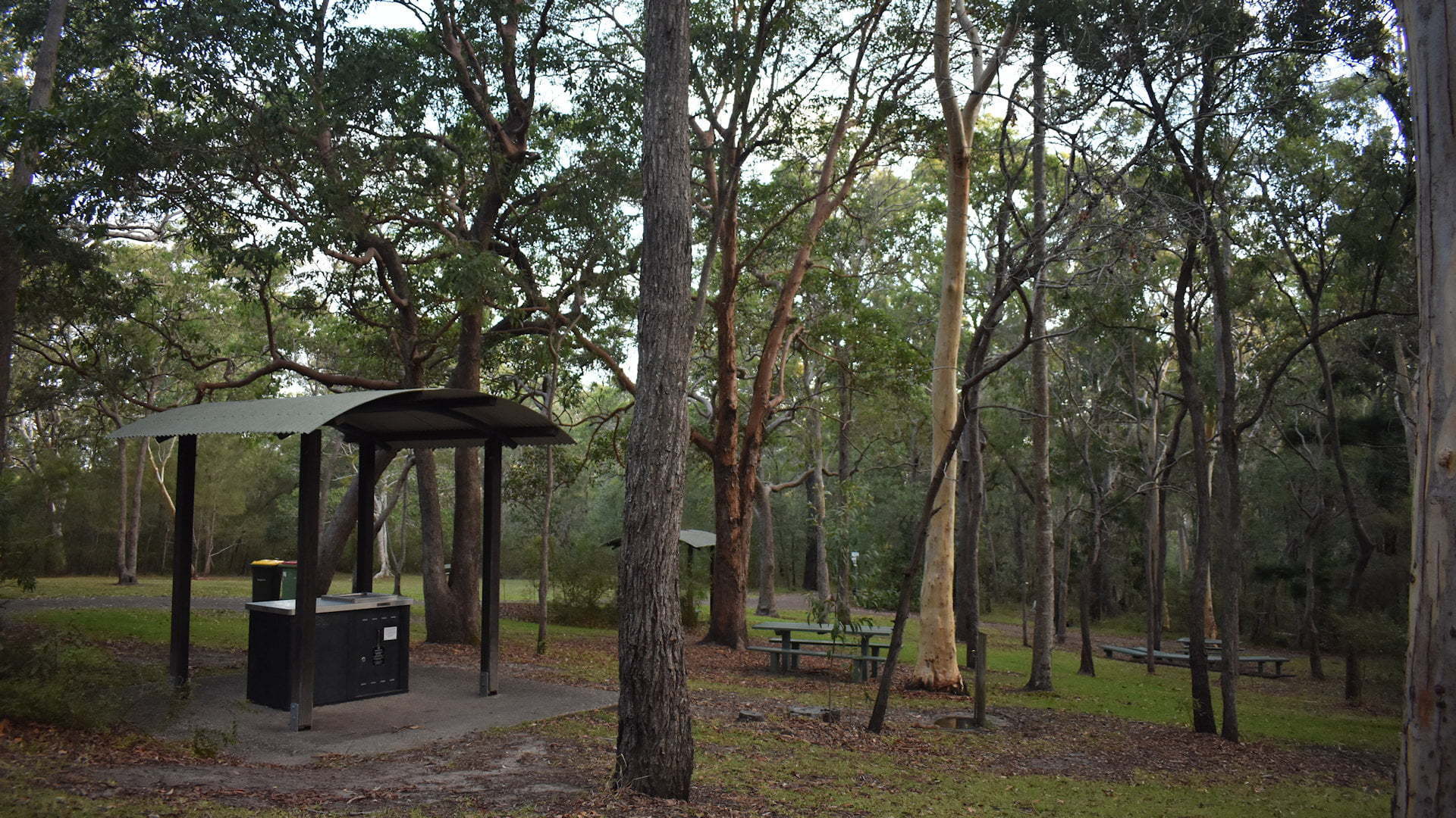
The picnic area is near the entrance with a few parking spots next to it. There are a few picnic tables, some covered and others in the open. A free BBQ is provided to cook up those sausages for a bush lunch.
The toilet facilities are clean and cater for wheelchairs. There are hard paths around the picnic area although the area is on a slight slope so the paths are not entirely flat but should be OK for most.
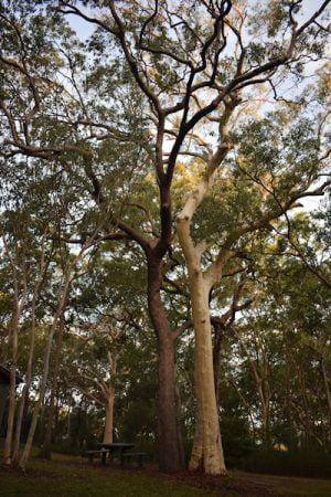
There are walking trails leading to the different forest types. The picnic area is in the open eucalypt forest area with the walks leading to the other types.
The Heath Trail is a 1km walk leading through the dry and wet heath areas. Along the walk, you can find spring wildflowers and a viewing platform need a lagoon. It passes along the Melaleuca woodland as well.
The Rainforest Trail is about 1.1km and also skirts along the Melaleuca woodland. It starts off passing by giant Tallowwood before reaching the Axeman’s Notch where the circuit part of the walk begins. The circuit takes you through a palm grove and by s Bribie Island pines.
The Eucalypt Trail is 800 metres return through the Eucalypt forest between the rainforest and heath sections of the bushland.
The Melaleuca Link Trail is a 200-metre section that links the three walks together. It allows you to combine parts of the walks together rather than doing them individually. A paperbark boardwalk is part of the Melaleuca link.
The name of the park is from Ben Bennett who was actively involved in the Caloundra community for many years and the primary person responsible for the preservation of the bushland park, established in 1969. Ben Bennett spent many years with the Rotary Club and continued to work in the community after retirement in 1970 until his death in 1987 at the age of 75.
We didn’t have much time to explore as much as we would like so we will likely find ourselves back here again.
To get there:

From the Bruce Hwy, take exit 188 and follow the signs for Caloundra. From the Hwy, follow Caloundra Rd for 5.3km and turn left into Sugar Bag Rd. Follow Sugar Bag Road for 3.4km, about 200 metres passed the entrance of Caloundra Golf Club, with the entrance to Ben Bennett Bushland Park on the right.
From Caloundra, there are so many places you could start from, two basic options are shown below.
From near Golden Beach, follow Bowman Rd, veering left following the brown sign towards Kings Beach. Follow Bowman Rd for 1km, becoming Regent St, and turn left into George St at the brown sign for Caloundra Golf Club. Follow George St for 300 metres and turn left into Queen St with another brown sign for the golf club. Continue on Queen St for 1.1km with the entrance to Ben Bennett Bushland Park on the left. If you reach the golf club entrance, you have gone too far.
From Dicky’s Beach or Moffatt Beach, head south along Elizabeth St (head east along the main street of Dicky Beach which becomes Elizabeth St when it bends to the right) and continue over the bridge of Swamp Creek. From Swamp Creek, continue 1.1km to the end and turn right at the lights into Queen St. Take the first right less than 100 metres from the lights to continue on Queen St. Follow Queen St for 1.3km with the entrance to Ben Bennett Bushland Park on the left.

