Brooms Head is a rocky outcrop on the north coast of NSW, with a caravan park and small seaside town.
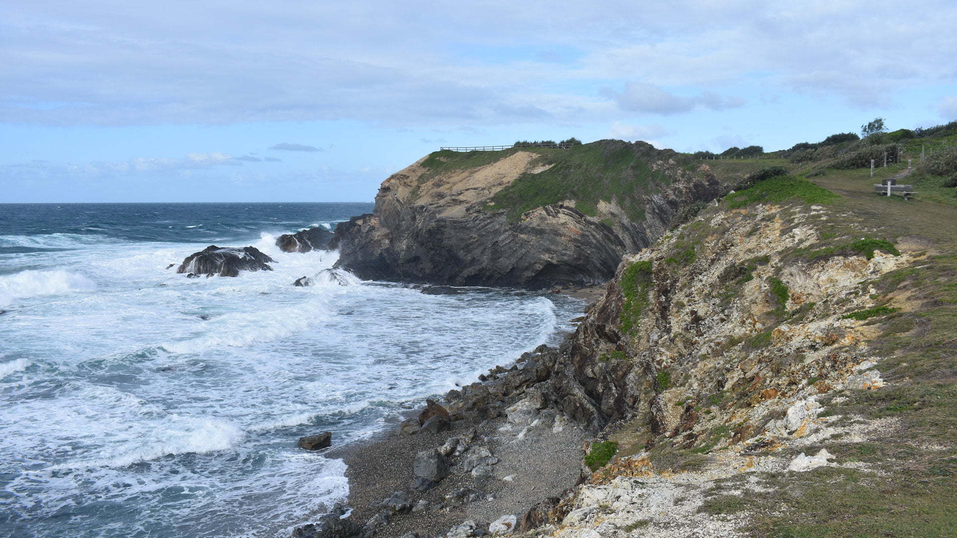
You can drive directly to the top of the headland of Brooms Head and view the coast north and south from the high point on the coast.
The head of Brooms Head is rugged and rough. The day we were there the wind was blowing strongly and just about blew you off your feet.
A short walk leads from the southern end of the caravan park, heading up some stairs and up to Brooms Head point. The foreshore section from the caravan park office to the grass area before the stairs along the beach is open for public day use, with picnic tables and BBQs available.
The viewing area is behind rails so it is quite safe but the walk between it and the caravan park is more open so some care is needed from approaching the edges.

Brooms Head is along the Yuraygir Coastal Walk, 65km of walking tracks, trails and beaches starting from Angourie through to Red Rock, taking in the longest stretch of protected coastline in NSW.
The walk continues from Brooms Head point south towards Sandon, about 8 kilometres of grade 3 walking trail and taking about 3.5 hours one way. Sandon River separates the walk at Sandon, which requires driving around to the south part of Sandon or crossing the river somehow. Watercraft or other means of crossing rivers is needed for Sandon River, Wooli, and Red Rock.
Naturally, you don’t have to do the entire walk and only go as far as you feel comfortable doing. It is only a short walk to look back at Brooms Head from the open grass plain for a different perspective of the headland point.
The Yuraygir Coastal Walk is picked up to the north at the northern end of the caravan park through the Brooms Head Reserve and on to Angourie. This is about 5.5 hours one way on a grade 3 walking trail.
We walked from Angourie to Shelley Beach return earlier from the Angourie section of Yuraygir National Park ![]() . We could have covered that whole section and walked to Shelley Beach from Brooms Head if we were staying. It would have been about 8 hours return, however, we only walked as far as Lake Arragan from the Lake Arragan camping area.
. We could have covered that whole section and walked to Shelley Beach from Brooms Head if we were staying. It would have been about 8 hours return, however, we only walked as far as Lake Arragan from the Lake Arragan camping area.

The beaches immediately north and south of Brooms Head are a stark contrast of each other. The beach along the caravan park is sandy and close to the foreshore land. The beach to the south is stony and requires scrambling down the edge of a rather high ledge. The stony beach may not be safe during higher tides.
For an alternative to the caravan park for accommodation, the Brooms Head section of the Yuraygir National Park has camping in the Brooms Head section of the park with the turn off a few kilometres before reaching the Brooms Head township.
To get there

Heading north on the Pacific Hwy, take the Cameron St exit for Maclean with the brown sign for Brooms Head before it. Follow Cameron St for 750m and turn right into Jubilee St. Follow Jubilee St which becomes Brooms Head Rd for 22km, entering the township of Brooms Head. Cross over the Lake Cakora Bridge and continue straight for another bridge for another 1km and turn left into the caravan park with a blue sign for Lookout. Follow the road for 500m to reach the top of Brooms Head and the lookout.
Heading south on the Pacific Hwy, continue south along the highway after crossing the bridge over the Clarence River and exit at Cameron St with the brown sign for Brooms Head before it. Follow Cameron St for 750m and turn right into Jubilee St. Follow Jubilee St which becomes Brooms Head Rd for 22km, entering the township of Brooms Head. Cross over the Lake Cakora Bridge and continue straight for another bridge for another 1km and turn left into the caravan park with a blue sign for Lookout. Follow the road for 500m to reach the top of Brooms Head and the lookout.
Alternatively, turn left 600m after crossing the Lake Cakora Bridge and follow the road along the foreshore for another 600m to a grass area with the stairs to walk up to the lookout.


