The main significance of the 26th Parallel in Australia is it defines the northern border of South Australia and the southern border of the Northern Territory.
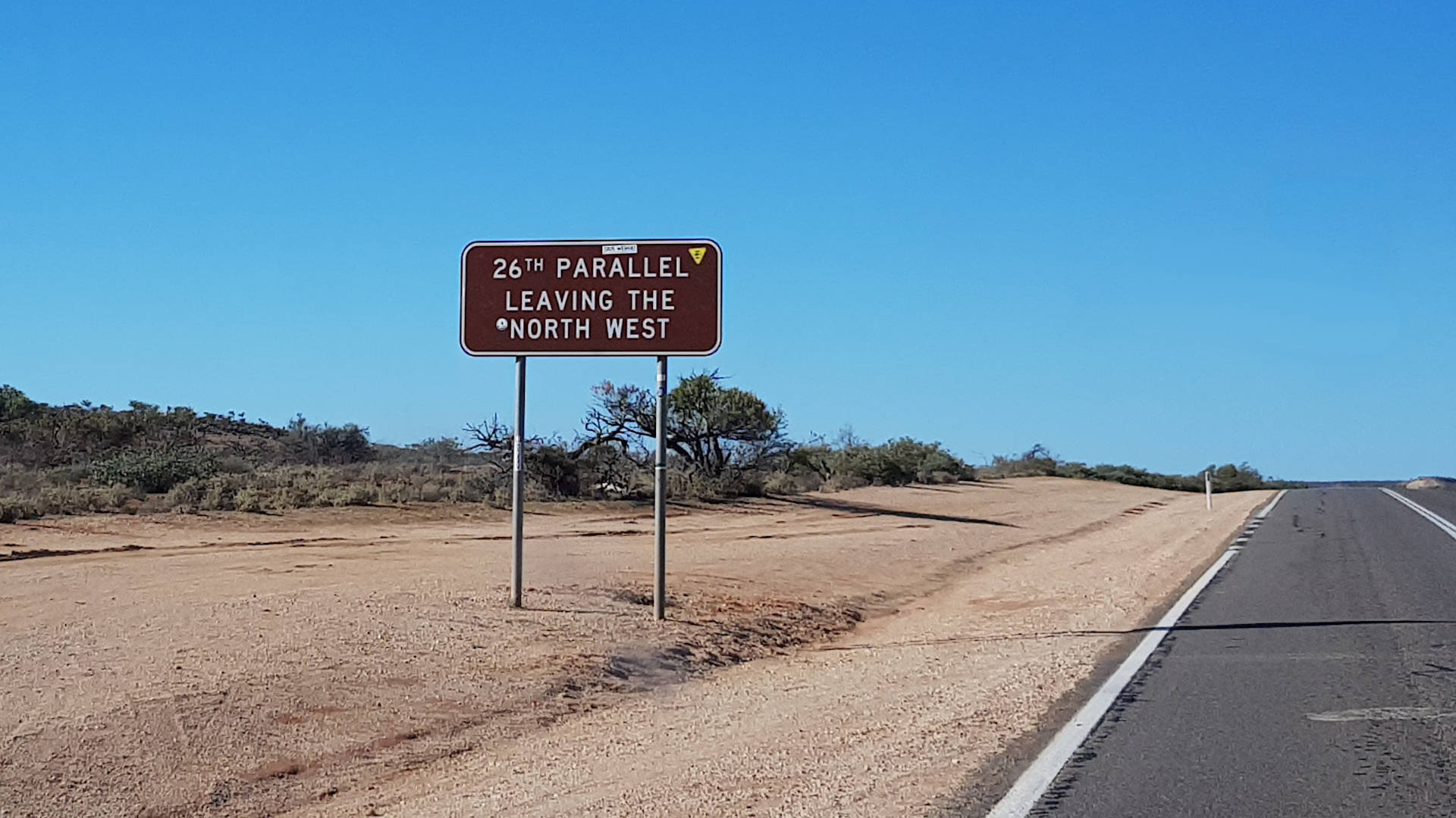
There are two brown signs here, one for each direction on either side of the road. The sign heading south says 26th Parallel Leaving the North West. The other sign heading north says 26th Parallel Entering the North West. Guess which direction we were heading in.
It is south of the Tropic of Capricorn, which is about 330km north, passed Carnarvon towards Coral Bay ![]() . The 26th Parallel is between Carnarvon and Geraldton near the Gladstone National Park. A scenic lookout over Gladstone National Park
. The 26th Parallel is between Carnarvon and Geraldton near the Gladstone National Park. A scenic lookout over Gladstone National Park ![]() is very close to the 26th parallel, less than three kilometres north of the signs.
is very close to the 26th parallel, less than three kilometres north of the signs.
It is confusing to a degree because the tourist region it is located in the Coral Coast region. The North West WA tourist region is north of Coral Bay.
An interesting fact about the eastern border of Western Australia is that the intersection of the three states at Surveyor Generals Corner isn’t completely aligned. The South Australian border is 127 metres further west than the Northern Territory border. The 127 metre inaccuracy, when it was surveyed in the 1920s, is why Western Australia’s eastern border is not the longest straight line in the world.


