JC Slaughter Falls is a picnic ground and an access point for walks in Mt Coot-tha Reserve. It is a nice bushy area with a creek running through, with grassy areas and plenty of places to setup for a picnic.
JC Slaughter Falls is named after a town clerk of Brisbane, James Cameron Slaughter. There have been theories and stories of the much more sinister history of the name, but the true source is less dramatic.
BBQs and picnic tables are spread throughout JC Slaughter Falls, although the types of facilities are different from one section to another. For example, some areas have wood fired BBQs, while others have gas BBQs with push-button start. Some have sheltered modern picnic tables, others are older wooden topped picnic tables. Some areas have water available on tap nearby, and others don’t.
From the end of JC Slaughter Falls picnic grounds, the Summit Track, Hovea Track, and the Aboriginal Art Trail can be accessed, and the Mahogany Trail more towards the entry of the JC Slaughter Falls picnic grounds. There are 70 trails throughout the Mt Coot-tha Reserve, including walking, mountain biking and horse riding.
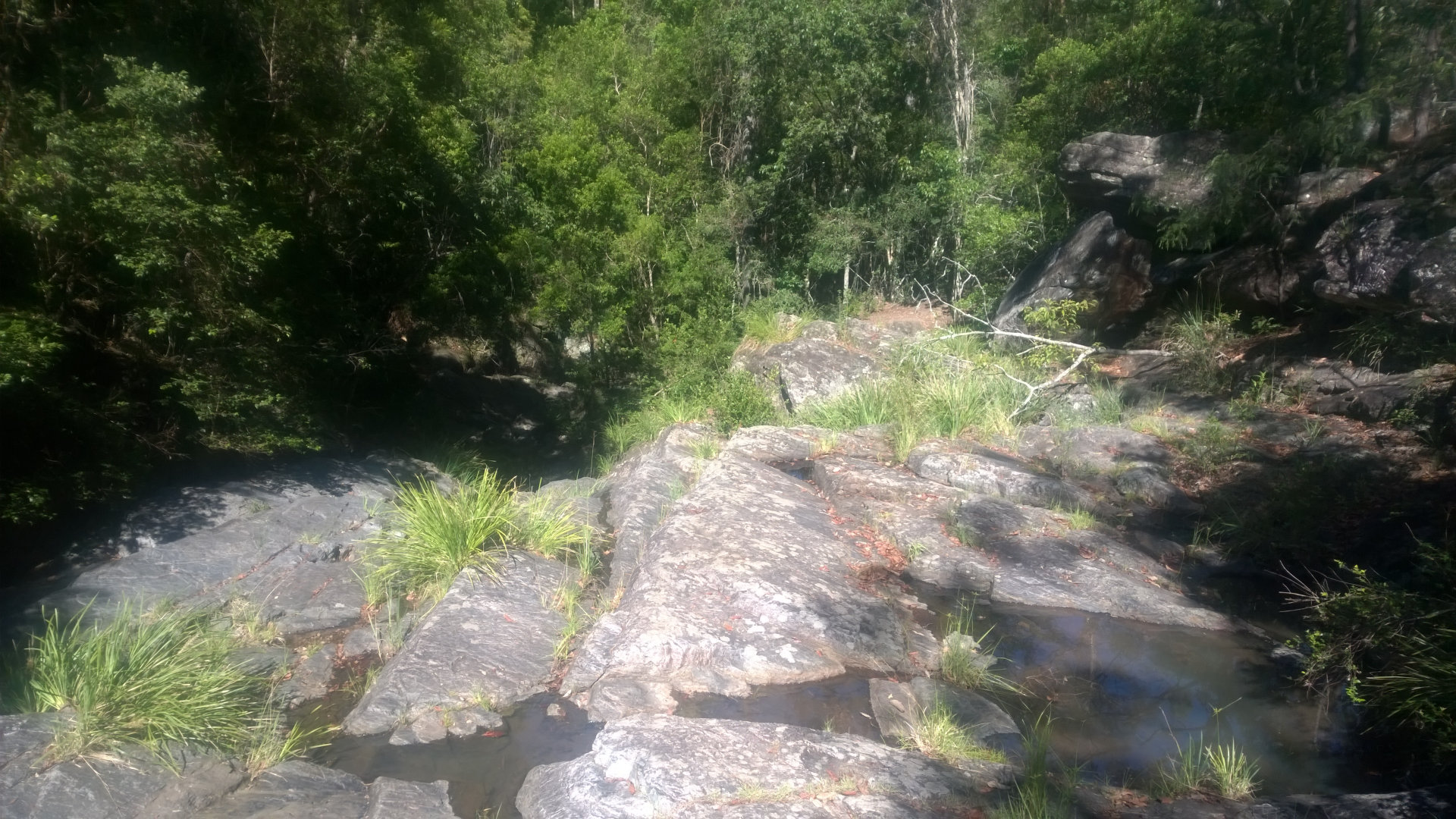
The Aboriginal Art Trail leads to the falls of JC Slaughter Falls. The walk is fairly easy with a moderate rocky climb for the last section. The falls have a platform over the falls to view them from. Other than a light trickle there was no waterfall to speak of
Along the Aboriginal Art Trail are pieces of Aboriginal art created as part of the International Year for the World’s Indigenous People in 1993. Seven artworks were created by indigenous Queenslanders from the Nguri, Mandandanji, Bibulman, Nuknucle, Jiman and Kamilaroi communities, representing mythical symbols and beings from these cultures.
Unfortunately, the artworks are in poor condition, being exposed to the weather for 25 years and made from natural elements such as rocks and wood. The walk is still enjoyable, though steep in some sections. It is 1km circuit at the end of the Hovea Track.
The Hovea Track leads through the bush to the Aboriginal Art Trail. It is an easy track, however, an easier bitumen track also leads to the start of the Aboriginal Trail.
The Summit Trail leads to Mt Coot-tha Summit, where the Mt Coot-tha Scenic Lookout is located. The Summit Trail is moderate walking track for 1.9km. It is steep in sections, however, the views along the way and at the summit are worth taking on the walk.
The Mahogany Trail is a moderate track that can be used as a return track from the summit, returning further back towards the entrance of JC Slaughter Falls.
To get there:
![]() JC Slaughter Falls along Mount Coot-tha Road at Toowong, west of the city of Brisbane. Coming along Milton Rd towards the Western Fwy. After the roundabout, continue ahead in the right lane and exit after about 200m, following the brown sign to the botanic gardens. At the next roundabout, take the exit to the right onto Mount Coot-tha Rd. After 1.4km, the entry to the JC Slaughter Falls picnic area is on the left. The road in the picnic area is 800m long, at the end is the access to the main walks.
JC Slaughter Falls along Mount Coot-tha Road at Toowong, west of the city of Brisbane. Coming along Milton Rd towards the Western Fwy. After the roundabout, continue ahead in the right lane and exit after about 200m, following the brown sign to the botanic gardens. At the next roundabout, take the exit to the right onto Mount Coot-tha Rd. After 1.4km, the entry to the JC Slaughter Falls picnic area is on the left. The road in the picnic area is 800m long, at the end is the access to the main walks.
Cost: Free
Hours: Mon-Sun 6am-7pm
Toilets: Yes
Bins: Yes
Tables: Yes
Seating: Yes
Water: Yes
Food: No
Wheelchair accessible: Yes, picnic areas only
Pets: No
Playground: No
BBQ: Yes

