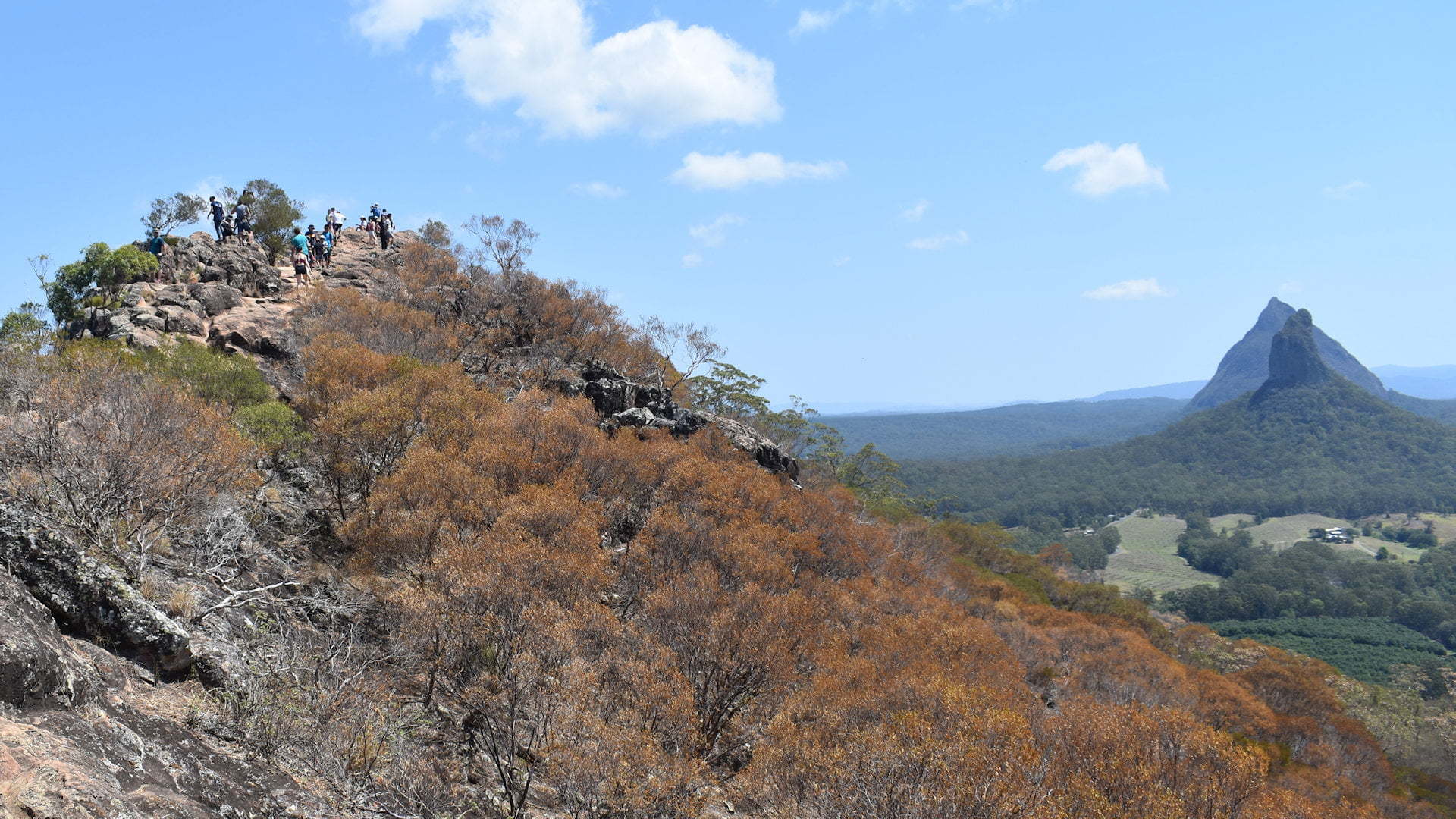
The Glass House Mountains is a distinctive feature at the southern end of the Sunshine Coast, just north of Brisbane. The remnants of volcanic activity, the peaks rise from the coastal area hundreds of metres, distinctively towering above the land.
Mount Ngungun is one of the smaller of the Glass House peaks at 253m. It is one of the more accessible peaks to climb to the summit, with stunning views as the reward.
 The pronunciation of Mt Ngungun I found is contested. Researching Mt Ngungun before I went, several websites state the pronunciation is ‘noo noo’. Locals corrected me saying it is ‘gun gun’, and the ‘n’ is silent. They knew what I was saying straight away to correct me, so I assumed it was a common issue the locals run into. Looking into it further, the names of the mountains are Aboriginal and the ‘g’ is silent in the local language, so the pronunciation is ‘noo noo’.
The Mt Ngungun summit walk up is not an easy walk but not difficult either. National Parks rate it as grade 4, meaning rough and very steep. It starts off easy, including when it gets to the steeper ground with steps up the hill as the track zigzags up the side of the mountain. The track used to have optional ramp sections instead of the steps but these have been removed during an upgrade in 2019.
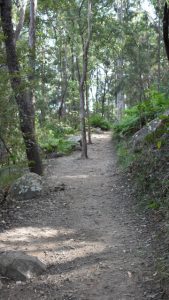
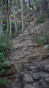
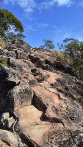
Part way up the track starts to narrow, is closer to steeper drop-offs, and the ground becomes more uneven with rocks jutting out of the ground. A view of Mt Tibrogargan opens with some space to stop for photos, and a cave just after it. It is around here the walk becomes harder. The steps are rougher and less even with some shallow, some deep, and not squared off, however, the steps have been improved with the 2019 update.
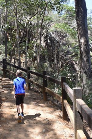
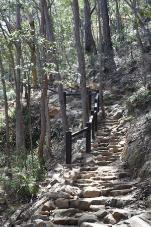
The upgrade in 2019 added railings along the track where it follows along steep slopes to the sides. Hayman’s cave has a new viewing area just under the cave entry with a good angle to view up into the depths of the cave, with is in under the rock overhang.
The railings at this part follow along with steps to the viewing area of Hayman’s Cave and around the viewing area itself. Previously, people left the track to walk over and into the cave and climbing up it, although, climbing into the cave is clearly not meant to happen anymore and the railings are there to prevent this from happening.
After the cave is a narrow and rocky climbing section. While it isn’t too difficult, it follows along a steep drop-off so care was needed. The railings up this section has certainly made it much safer than before.
The last section I had to scramble, using hands to assist in climbing up to the top. It isn’t difficult, but rising over the last bit you realise two things.
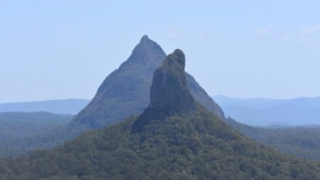 Firstly, the climb is definitely worth the effort with beautiful views in most directions, though there isn’t a single point to view all of them together. Mount Coonowrin
 ![]() sitting directly in line with Mt Beerwah is stunning and the best image of the views.
sitting directly in line with Mt Beerwah is stunning and the best image of the views.
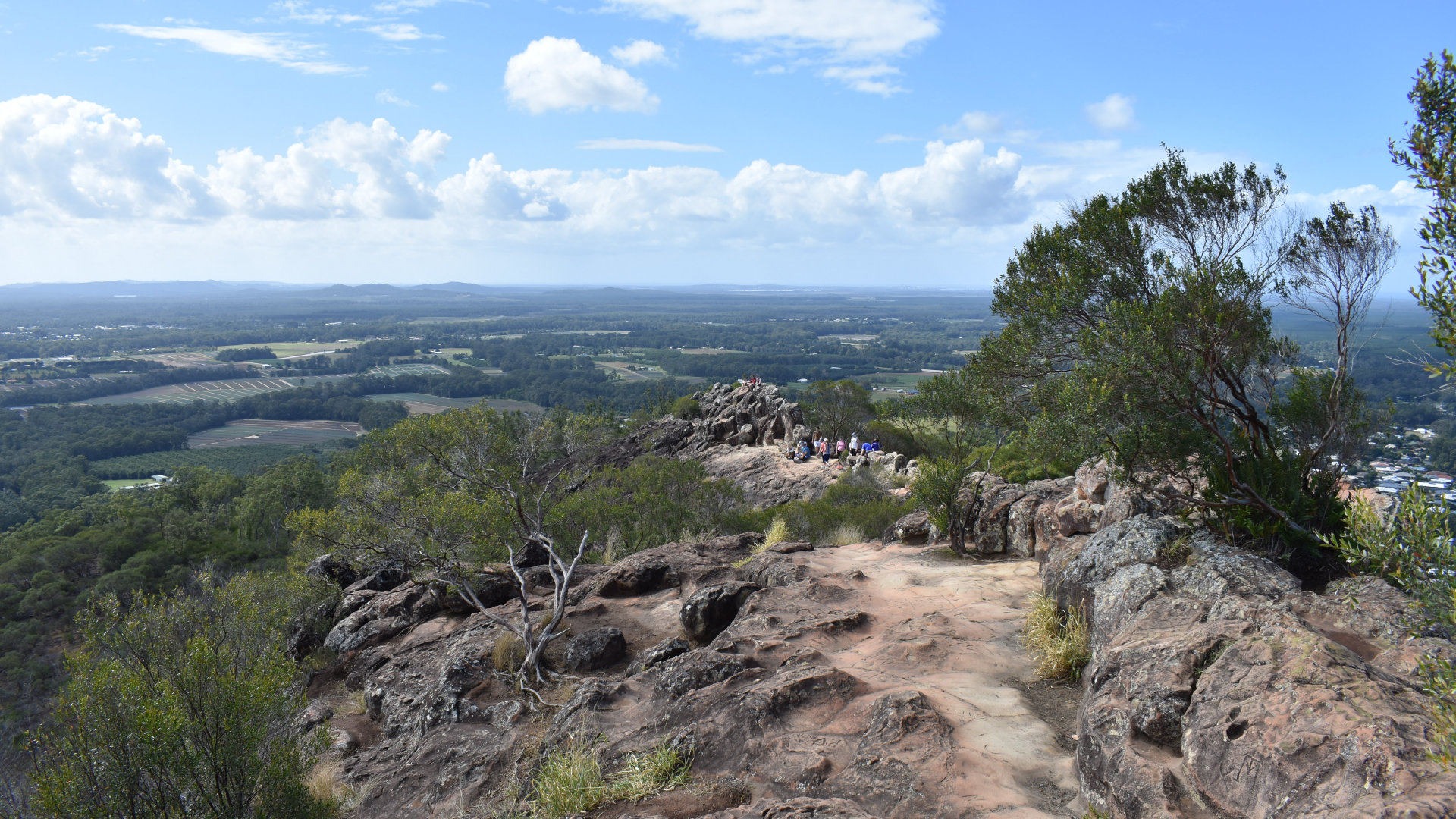
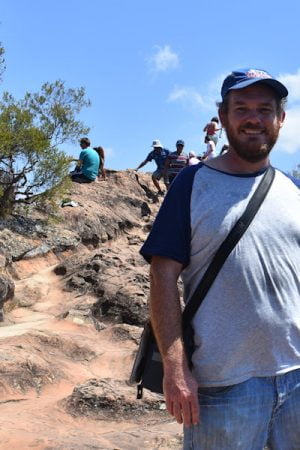
Secondly, you realise you haven’t yet reached the top. It isn’t much further on, perhaps 100 metres or so. The top is on the edge of a ridge with a very steep drop off the left side. Where you can, try to keep towards the right-hand side, especially if you have children with you.
Speaking of children, I wasn’t sure if I should go to Mt Ngungun with my boys (aged 12 and 8). Some websites say it is OK, others say it isn’t. I would confidently take them with me having gone up there, and they have been on a few bushwalks with me previously, including some with scrambling required. In 2018, there were kids around 5 years old going up there.
This year, in 2019, I took both of them with me (aged 10 and almost 14) and they were perfectly happy climbing up Mt Ngungun and would have been before also. If your kids have some bushwalking experience, and care is taken at the top (perhaps skipping the last part that gets close to the cliff edges of the ridge), then kids should have no problems with this walk.
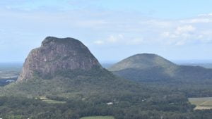 Mount Tibrogargan, Mount Coonowrin and Mount Beerwah are the most direct of the glass house mountains viewed from Mount Ngungun. Mt Coochin, Mt Beerburrum
 ![]() , the twins (Mt Tunbubudla) and the mountain ranges to the west and the coast to the east are all viewable from Mt Ngungun.
, the twins (Mt Tunbubudla) and the mountain ranges to the west and the coast to the east are all viewable from Mt Ngungun.
The walk back down is not too bad, with the scramble off the ridge at the beginning the hardest part. In 2018 I mentioned that I find lots of steps down can be hard on my knees, so taking it easy and opting for the zigzag ramp instead of the steps helps with the descent too. The ramp parts have been removed so the steps are now the only way, however, the walk is still easy if you take your time.
Back at the parking area, filled up the water bottles at the water tap at the start of the walk, and had a sit to contemplate an enjoyable walk rewarded with the spectacular views. I then headed off to the Glass House Scenic Lookout, and for what I thought would be an easier Mount Beerburrum climb in the afternoon.
To get there:
 From Steve Irwin Way (take exit 163 heading north on Bruce Hwy, or exit 188B heading south), turn into Reed St for the Glass House Mountains township. Follow the road for 1.6km, the name will change a few times, eventually becoming Coonowrin Rd. Turn right into Fullertons Rd, with the brown sign for Mt Ngungun, and follow for 1.2km. The Mt Ngungun walking trail is on the right with parking on both sides of the road.
From Glass House Scenic Lookout, head towards Old Gympie Rd for 2.8km east on the bitumen road. Turn left into Old Gympie Rd and continue for 3km, and turn right into Fullertons Rd. The Mt Ngungun walking trail is 1.2km on the left, with parking on both sides of the road.
From Mt Coonowrin Viewing Point, head east back to Old Gympie Rd, and cross over Old Gympie Rd into Fullertons Rd. The Mt Ngungun walking trail is 1.2km on the left, with parking on both sides of the road.
From Mt Beerburrum Lookout, head back out of Mount Beerburrum Access to Beerburrum Rd, and turn left back to Steve Irwin Way in 850m, turning left. Follow Steve Irwin Way for 6.4km and turn into Reed St for the Glass House Mountains township. Follow the road for 1.6km, the name will change a few times, eventually becoming Coonowrin Rd. Turn right into Fullertons Rd, with the brown sign for Mt Ngungun, and follow for 1.2km. The Mt Ngungun walking trail is on the right with parking on both sides of the road.
Cost: Free
Hours: Anytime
Toilets: No
Bins: No
Tables: No
Seating: Yes, at start of walking trail
Water: Yes
Food: No
Wheelchair accessible: No
Pets: No
BBQ: No
Playground: No


