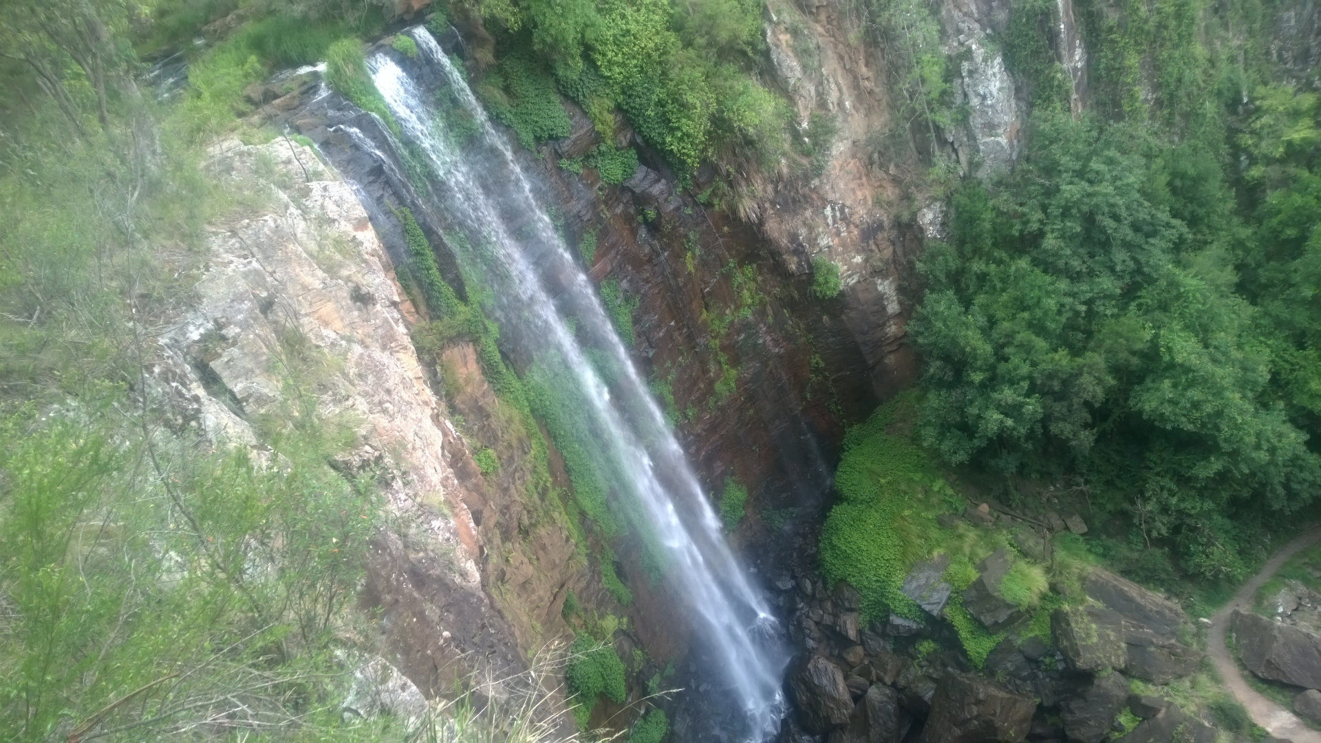
Queen Mary Falls is a 40 metre plunge waterfall along Spring Creek from the McPherson Range. Located in the Darling Downs region, it is the main destination many people go to along The Falls Drive, with Daggs Falls ![]() , Browns Falls
, Browns Falls ![]() , and Teviot Falls
, and Teviot Falls ![]() also along Spring Creek Road.
also along Spring Creek Road.
Queen Mary Falls is the southern part of the Main Range National Park, with Spicers Gap ![]() and Cunninghams Gap
and Cunninghams Gap ![]() in the middle, and Goomburra Section
in the middle, and Goomburra Section ![]() at the northern part.
at the northern part.
There is a large parking area, which easily fills on popular holiday periods. We were here between Christmas and New Years, and parking had spilled out of the already filled main parking area.
There are two walks to view Queen Mary Falls, the short and easy Cliff circuit, and the longer Queen Mary Falls circuit.
Cliff circuit
The Cliff circuit is less than 1km return, taking you to the top of the falls where you can view from a platform. The views of Queen Mary Falls are not the best from here, practically completely obscured by foliage. The view also looks over across the gorge to another viewing platform, the place where you can get the best views from the top of the falls.
 The maps show the other viewing platform is part of the Queen Mary Falls circuit, but it is worth walking over to it. There is a bridge across Spring Creek, and then a short walk down to the viewing platform, staying to the left when the path splits. You can then return over the bridge if you don’t want to walk down to the base of the falls.
Queen Mary Falls circuit
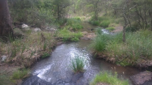
Queen Mary Falls circuit starts part way around the Cliff circuit, by crossing the bridge over Spring Creek at the top of the falls. From the bridge you can view the water before it goes over the waterfall. You can’t see far enough to see the waterfall itself from here.
Continue on and the path will split. Take the left path first, which leads you to the best viewing point of the falls from the top. The view is unobstructed all the way to the bottom, where you can see the walk at the bottom. Head back to the split, and take the other path to the right.
Once the path starts heading downwards, it continues like this until you reach the bottom. There are no steps, just a continuous downward slope. The track is narrow so you will be walking single file most of the way. You may need to stop and allow others to pass you, although they are more likely to stop to let you pass, taking advantage of an excuse to have a breather on the way back up.
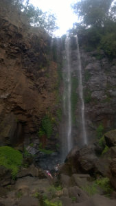
 When you reach the bottom, the track immediately opens to the view of the falls. There is a concrete path crossing Spring Creek, with a rail only on the downstream side. Between the path and the bottom of the falls are massive boulders. The last major collapse of the waterfall cliffs occurred in the 1880s.
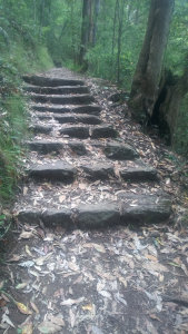
Leaving the falls, you can either return the way you came, or continue on to come out the southern side of the gorge. The southern side is shorter, but it is also steeper. There are a lot of stairs, which can be handy to use for sitting every now and then on the way up.
During heavy rainfall, the Queen Mary Falls circuit may be closed, with a gates at both ends. If closed, you can still reach the lookouts at the top of the falls. I don’t know if Spring Creek ever has enough water to go over the bridge, but the gate is on the other side, so I guess if it ever does it would be rare.
 I have always walked the Queen Mary Falls circuit anti-clockwise, starting from the Cliff circuit first. The information board suggests to go clockwise to avoid walking up the stairs, but I prefer to go up stairs than going down. Also, most times I have been in a group and some only want to do the Cliff circuit, and going anti-clockwise lets us start and enjoy the falls together.
Back at the parking area is a large picnic area, with BBQs, picnic tables, and toilets. If you don’t bring your own lunch, or you’ve had lunch at a different location such as at Browns Falls, there is a cafe across the road that has various options for sit in and take away food.
To get there:
 From Boonah, head south for just over 14km to Carneys Creek Rd, and turn right at the Falls Drive brown sign. A brown signs summary of the falls and lookouts are shortly along the road. Continue for 14.6km to Head Rd, and turn right with the Falls Drive brown sign. You will cross Teviot Brook 4 times, the forth about 7.1km after turning into Head Rd. Head Rd starts a steep climb shortly afterwards, which continues for about 4kms from the last crossing of Teviot Brook, and an unsigned lookout to Teviot Falls at the top. Continue for another 21km, and Queen Mary Falls will be on the right, with a brown sign.
From Killarney, head south along Willow St in town, which becomes Acacia St, then Border Road. Continue for 4.3km to Spring Creek Road and turn left at the Falls Drive brown sign. A brown signs summary of the falls and lookouts are shortly along the road. Continue for 6.8kms, and Queen Mary Falls will be on the left, with a brown sign. You will pass Brown Falls at 2.4km, then Dagg Falls Lookout at 3.5km. Dagg Falls is worth stopping at on the way, as the viewing platform is right at the parking area.


